
Bloody Basin Road
|
On my way home from Flagstaff to Scottsdale on May 24, I decided to take an alternate route through Bloody Basin. From Interstate 17, I turned east on Bloody Basin Road through the Agua Fria National Monument. Where the road enters the Tonto National Forest it becomes Forest Route 269. The weather was remarkably cool for late May. It is a 26 mile drive to Bloody Basin and Cave Creek Road. It is 38 miles south from the junction to Carefree.
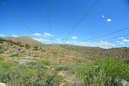 A powerline crosses the road four miles from I-17.
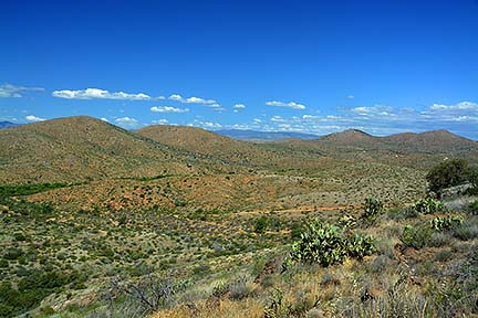 The view to the north across Silver Creek.
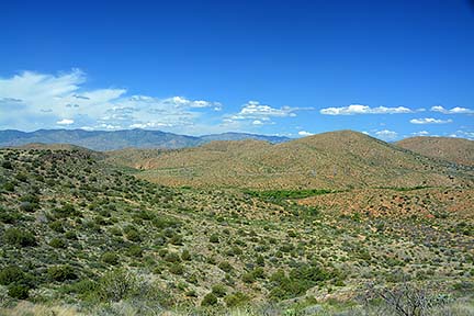 The Bradshaw Mountains are visible in the distance.
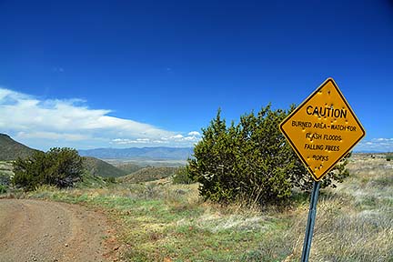 Seventeen miles from I-17, watch for falling trees.
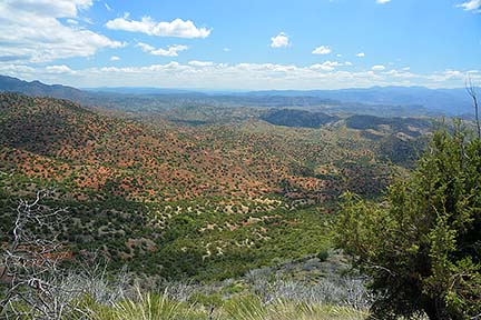 18 1/2 miles from I-17, the view into Bloody Basin..
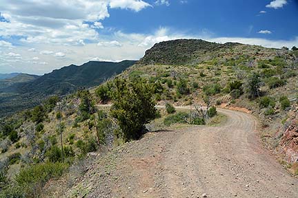 Forest Route 269 winds its way down into Bloody Basin.
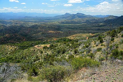 East Cedar Mountain and West Cedar Mountain are prominent on the horizon.
 Panoramic view of Bloody Basin.
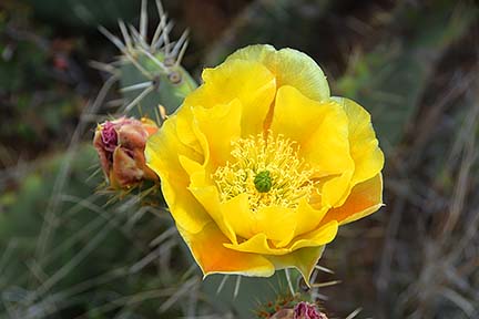 Prickly Pear cacti are in bloom.
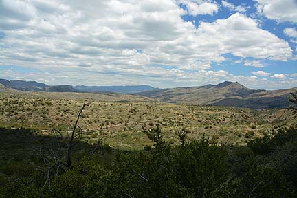 Nine miles south of the junction, looking back along Cave Creek Road. The peak at right is West Cedar Mountain.
Follow @BrianLockett on Twitter for updates on the releases of my new calendars, books, and prints. Watch for coupon codes for special savings on my books and calendars at Lulu.com.
Follow Brian Lockett on Google+.
Follow Brian Lockett on FaceBook.
Visit my channel on YouTube.
 Send a message to Brian.